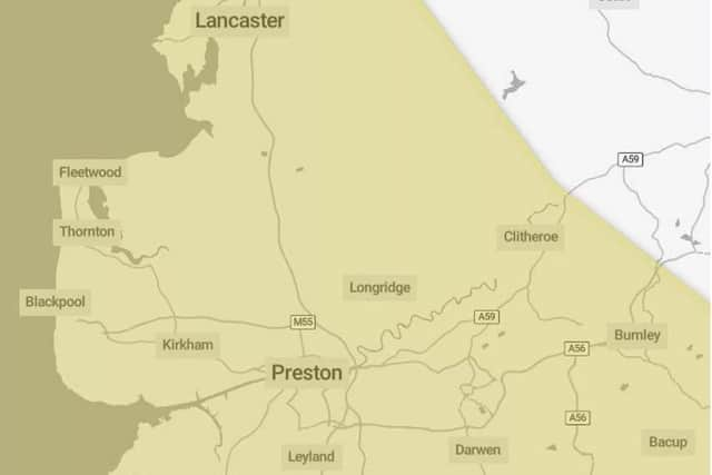
Yellow weather warnings for snow and ice in Lancaster and Morecambe
and live on Freeview channel 276
Further snow showers, perhaps merging into a longer spell of snow, are likely to cause further disruption on Tuesday.
The latest Met Office weather maps show a blanket of snow moving its way across the Irish Sea and the western coast in the early hours of Tuesday.
What to expect:

Advertisement
Hide AdAdvertisement
Hide Ad*Possible travel delays on roads stranding some vehicles and passengers
*Power cuts may occur, with the potential to affect other services, such as mobile phone coverage
*Possible delays or cancellations to rail and air travel
*A chance of injuries from slips and falls on icy surfaces
*Some rural communities could become cut off.
The yellow weather warning is in place from Tuesday, January 16 to Friday, January 19.
For Tuesday, January 16, temperatures will be between 5 degrees and -2 degrees.
Advertisement
Hide AdAdvertisement
Hide AdTemperatures on Wednesday, January 17 will be a high of 1 degree and low of -4 degrees.
On Thursday, January 18 the highest temperature will be 3 degrees falling to a low of -2 degrees.
Temperatures on Friday, January 19 will be slightly higher, with a high of 5 degrees and a low of 3 degrees.
National Highways has also issued a severe weather alert for snow affecting the north west, with road users advised to plan ahead, and some rural communities warned they could be temporarily cut off.
Drivers face being stranded as Arctic air bringing snow and ice threatens to cause travel disruption in parts of the UK.